


Phase I Environmental Site Assessment
A Phase I Environmental Site Assessment ESA (ASTM 1527-00) has become standard practice within the real estate market for the identification of recognized environmental conditions (RECs) as a means of establishing the innocent landowner defense against potential environmental CERCLA liability. This procedure protects the client in a real estate transaction against any liability for clean-up costs that may be involved in any known contamination.
Phase I Environmental Site Assessment involves:
- Reviewing ascertainable historical records from selected years such as historical aerial photographs, and/or Sanborn Fire Insurance maps, and/or county/city directories;
- Interviewing client and past owners;
- Reviewing data as to listings under CERCLA, FINDS, ERNS, RCRA, and other federal or state files;
- Interviewing and reviewing files from local fire jurisdictions and the local government to determine if reports of incidence have occurred;
- Reviewing USGS geologic, hydrogeologic,, hydrologic and topographic information;
- Contacting the local electric company to determine the PCB status of electrical transformers and any equipment at the site;
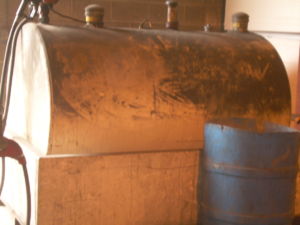
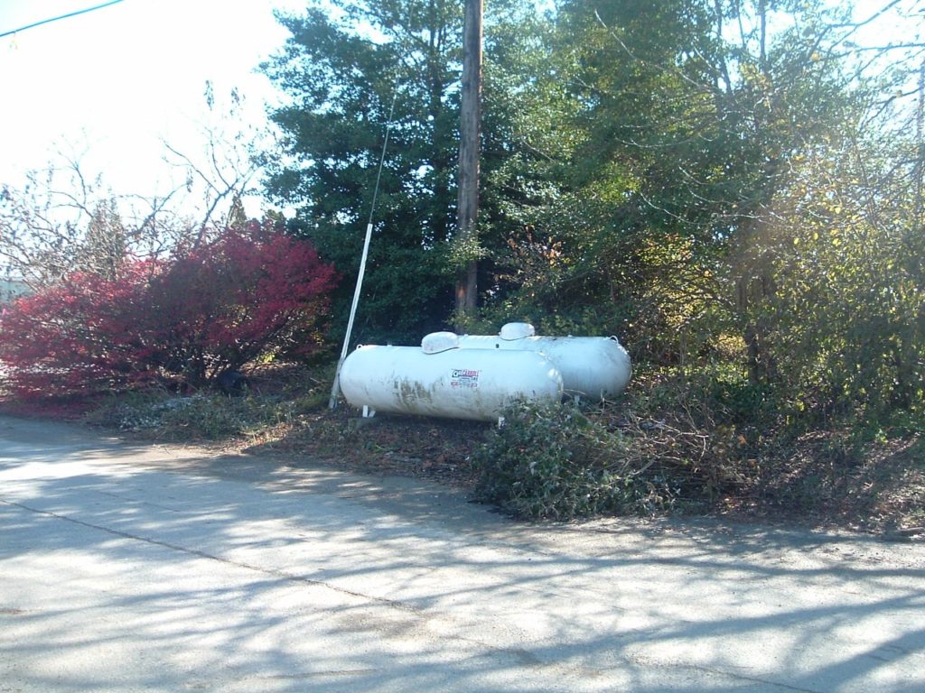
- Making a site reconnaissance to note use and conditions of the site and immediately surrounding properties for concerns such as: drums, containers, discolored pavement or stressed vegetation, unusual odors, signs of above- or below-grade fuel or chemical tanks (ASTs / USTs), chemical storage, spill control containment devices, septic tank drain fields, electrical equipment which may contain PCBs, drainage patterns and the potential for drainage from off-site, and storm and sanitary sewers;
- Visually observing the interior of accessible areas of the site building including maintenance/repair, storage areas, and a representative sample of occupant spaces;
- Conducting surveys to investigate Asbestos or Lead Based Paint containing materials within a structure, or conduct geophysical surveys to investigate the potential for subsurface drums or other containment structures.
There is no standard format for the Phase I report. A good report, however, is designed to provide the client with relevant information.
INTRODUCTION - Contains general information on the Purpose, Methodology, and Scope of Services for the Phase I ESA, as well as which parities granted Authorization and Access, a Definition of Subject Property Boundaries, the Warranty, and the Limitations of the Phase I Environmental Site Assessment.
SUBJECT PROPERTY DESCRIPTION - Describes the Location, Immediate Boundaries, Dimensions, Function, Zoning, Improvements, Utilities, Topography and Drainage Patterns, Geology, and Soil Characteristics of a subject property.
ADJACENT/NEAR PROPERTIES DESCRIPTION - Describes the land use of properties immediately adjacent to and/or near the subject property to a distance at which potential environmental concerns on those properties will no longer represent a concern to the subject property.
HISTORICAL RESEARCH - Includes the reviews of historical information sources such as topographic maps, aerial photographs, city directories, fire insurance maps, and chain-of-title summaries in an effort to determine all past land uses of a subject property and adjacent properties.
REGULATORY AGENCIES RESEARCH - Lists the reviewed regulatory agency databases and summarizes the sites which are potential environmental concerns to the subject property.
INTERVIEWS AND OTHER INFORMATION - Presents information on a subject property or adjacent properties disclosed through persons knowledgeable about those properties, as well as other information including radon gas concentrations and wetlands status.